Google Earth terrain data are available by default to carry out topographical analysis. When greater precision in Italy is required, you can follow this article.
This article will show you how to import topography data from Tinitaly by the "National Institute of Geophysics and Volcanology" in RatedPower using QGIS.
- Go to Tinitaly website.
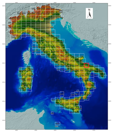
- Select and download the correct portion of the map based on your PV site location.
- Unzip the downloaded file, you will use the .tif file.
- Follow the instructions of this article to convert and import the data to RatedPower.
For further questions, please contact us at the following email address: support@ratedpower.com