Import US parcels, PV Collada file improvements, OHL profile view
pvDesign - backend v10.3.3, frontend v4.14.4
Major improvements to the pvDesign software were released in May. The capability to automatically create sites based on US parcels data helps streamline the design process for users developing PV plants in the USA. We also released the integration with the Enverus Prism software, which allows you to easily import parcel data from Prism into pvDesign.
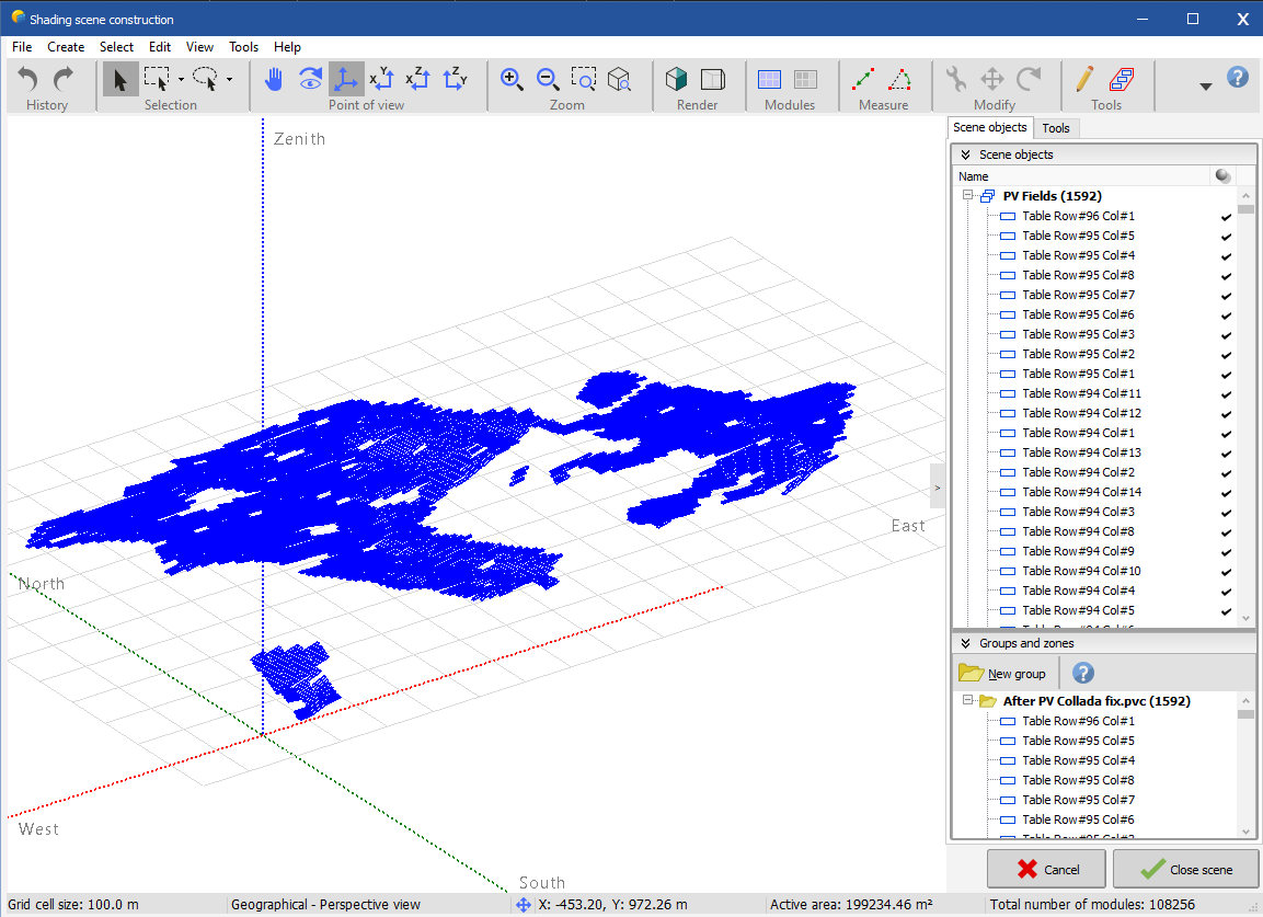
Additionally, the PV collada file improvements address some long standing user complaints. Now all tables are read correctly in PVsyst, allowing users to partition tables into strings without requiring any extra work.
New Features
These new features were released in May:
- Import US Parcels: when creating a site in the USA, it is now possible to add parcel boundaries as available areas. To do so, create a site in the Design Process page, and enable the US parcels layer. The parcel data (also known as Cadastre data) comes from Regrid, a provider a property data.
- PV Collada file improvements: We have fixed some issues in our PV collada files which were causing issues when importing the files in PVsyst. The issue was that tables were not recognized as such, and instead appeared as objects. The fix consisted in projecting the tables on the 3D plane without stretching them to match the 2D coordinates. Now, all tables have the same dimensions in the PV Collada file, and the other 3D documents (DWG file and web view) remain unchanged. You can learn more about the integration with PVsyst in these tutorials: Export a fixed structures simulation to PVsyst, Export a tracker simulation to PVsyst.
- OHL profile view: The OHL layout DXF file now contains a profile view of the line, showing it in its entirety. The profile view is shown in plant view as well. In order to draw the profile view, the lines are rotated so that the OHL is straight. Doing this might cause inaccuracies in the drawing, so it is only for representational purposes.
- Import US parcels from Prism: It is now possible to directly import a US parcel found in the Enverus Prism software. With Prism you can run detailed, customized GIS analysis, such as finding all parcels within a certain radius of a grid delivery point. You can find more information here.
Bug fixes and improvements
In May, we released the following bug fixes and improvements:
- Fixed an issue in the power distribution algorithm, which resulted in more inverters than structures in one single power station.
- Improved the selection of the MV delivery point for LV area groups.
- Fixed a bug which was causing simulation errors when sharing the LV system between areas. The issue was caused by an erroneous geometrical operation on the cables connecting areas.
- The zero-sequence impedance is now shown in the overhead line report as an additional electrical calculation result.
- Improved the distribution of inverters into power stations for small areas.
- Fixed a simulation error which occurred due to zero-width areas.
- Fixed a bug which occurred when using border adaptation and partial structures.
- Improved how the tables are displayed in the PDF reports.
- Fixed an issue which occurred when using partial structures and regular blocks.
- Fixed a rare bug which occurred when the intersection of the LV collector and the the cable from the power station fell outside the area.
- Improved how the power station dimensions are considered. Now, the length will always be greater than the width, by switching user input if necessary.
- Improved string grouping in string boxes by using a flexible lower bound.
- Fixed a bug which caused simulation errors when the OHL was a straight line.
- Changed the behavior of the hide second logo button in the design process page.
- Fixed a bug in the bulk element modifier in the site creation tool.
- Improved the priority sort option in the LV grouping of areas.
- Fixed a bug causing batch designs not to have equipment by default.
- Make the input box for the design name wider.
- Reimplemented the topography slopes download button.
- Fix a bug causing financial values to reset after a recalculation occurs.